11 neighbourhoods across Sri Lanka, grouped by city. Plan dinner by the door you walk out of. Want the global view? Browse every neighbourhood.
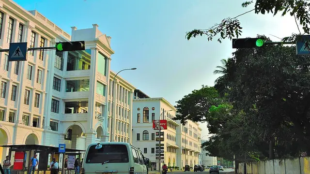 Cinnamon Gardens (Colombo 7)Colombo · 2 places · Colombo 7 is the administrative district of the city, and Independence Hall stands at Independence Square in Cinnamon Gardens.
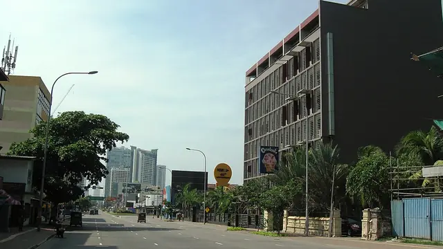 Kollupitiya (Colombo 3)Colombo · Kollupitiya is Colombo 3.
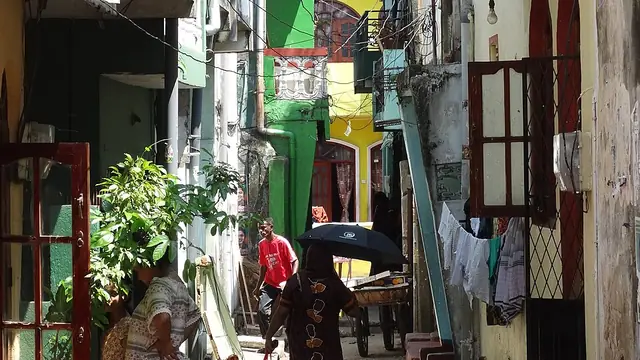 Slave Island (Colombo 2)Colombo · Slave Island and Union Place make up Colombo 2, the postal area numbered after Fort.Day TripColombo · 6 placesFort (Colombo 1)Colombo · 1 places · Fort is Colombo 1 and the city's business district.Pettah (Colombo 11)Colombo · 1 places · Pettah, the outer fort, lies immediately outside Fort and is a commercial hub.Bambalapitiya (Colombo 4)Colombo · Bambalapitiya is Colombo 4, the postal area numbered after Kollupitiya (Colombo 3).Dehiwala and Mount Lavinia (Galle Road)ColomboGalle Face and the seafrontColombo · Galle Face Green is a 500 m ocean-side urban park laid out in 1859, and the Galle Face Hotel, established in 1864, stands at its southern edge.Havelock Town (Colombo 5)Colombo · Colombo 5 covers Havelock Town, Kirulapone and Narahenpita.Wellawatte (Colombo 6)Colombo · Wellawatte, with Kirulapone South, is Colombo 6, and the Galle Road artery carries on south through Dehiwala and Mount Lavinia.
Cities: Colombo